
Kalum LRMP Map
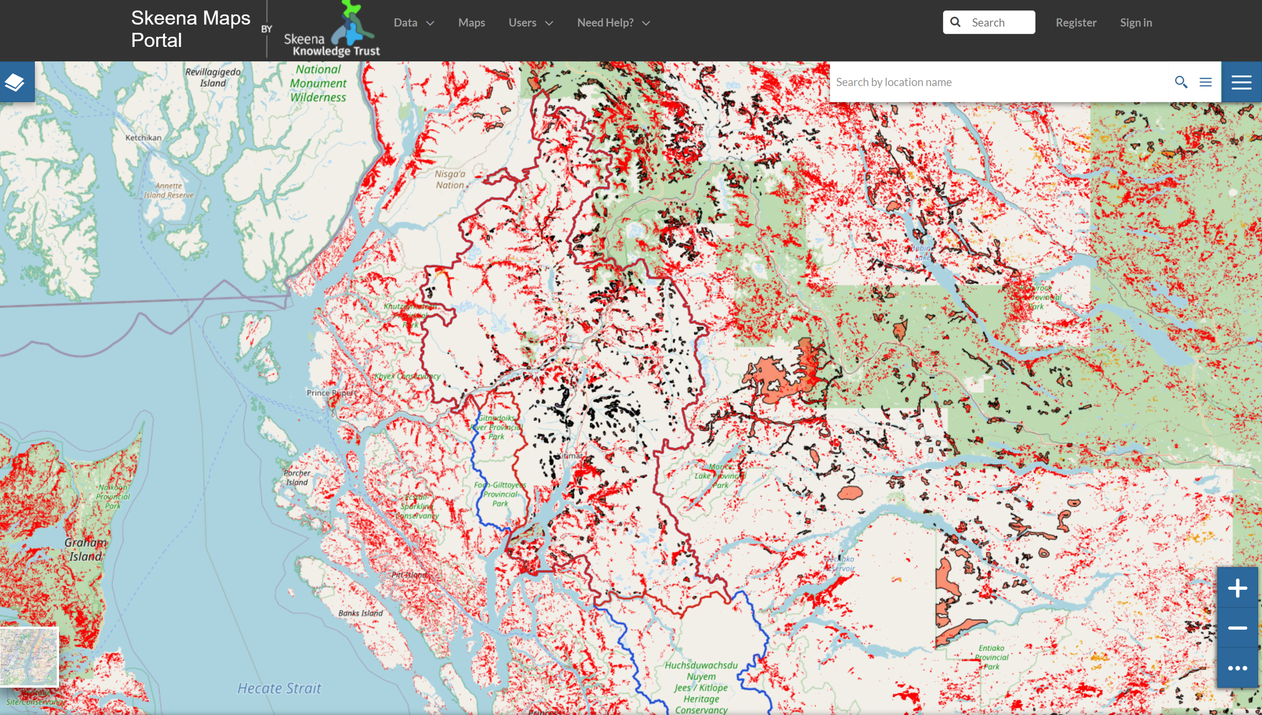
The Kalum LRMP map was developed as a spatial planning and discussion tool. The original intent of the map was to provide valuable data and context for the KLRMP PIC to consult with the Province of BC on Old Growth Management Area co-location. Because the Skeena Maps Portal has access to an abundance of mapping layers relevant to land use in northern BC, this mapping tool can be adapted easily to suit a variety of different planning and discussion needs relating to land, water and resource uses and cumulative impacts in northern BC. Please let us know if you have suggestions for new layers that we should add or other feedback to help us improve this planning tool.